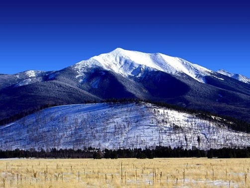
arizona: Humphreys peak (12,633ft)
|
Highpoint detailsHumphreys Peak
(Hopi: Aaloosaktukwi) is the highest natural point in the U.S. state of Arizona,[4] with an elevation of 12,637 feet (3,852 m)[1] and is located within the Kachina Peaks Wilderness in the Coconino National Forest, about 11 miles (17.7 km) north of Flagstaff, Arizona. Humphreys Peak is the highest of a group of extinct volcanic peaks known as the San Francisco Peaks. The summit can be most easily reached by hiking the 4.8 miles (7.7 km) long Humphreys Trail that begins at the Arizona Snowbowl ski resort in the Coconino National Forest. The last 1 mile (1.6 km) of the trail traverses the only region of tundra in Arizona, at an elevation of more than 11,500 feet (3,505 m). Humphreys Peak was named in about 1870 for General Andrew A. Humphreys, a U.S. Army officer who was a Uniongeneral during the American Civil War, and who later became Chief of Engineers of the United States Army Corps of Engineers. However, a General Land Office map from 1903 showed the name San Francisco Peak applied to this feature (apparently borrowed from San Francisco Mountain on which the peak stands). Thus the United States Board on Geographic Names approved the variant name in 1911. In 1933, the application of the names was rectified.[5] The treeline of Humphreys Peak is around 11,400 ft. Hazards of the hike include a steep and rocky trail, risk of lightning strike, snow, and avalanche danger in winter.[3] |
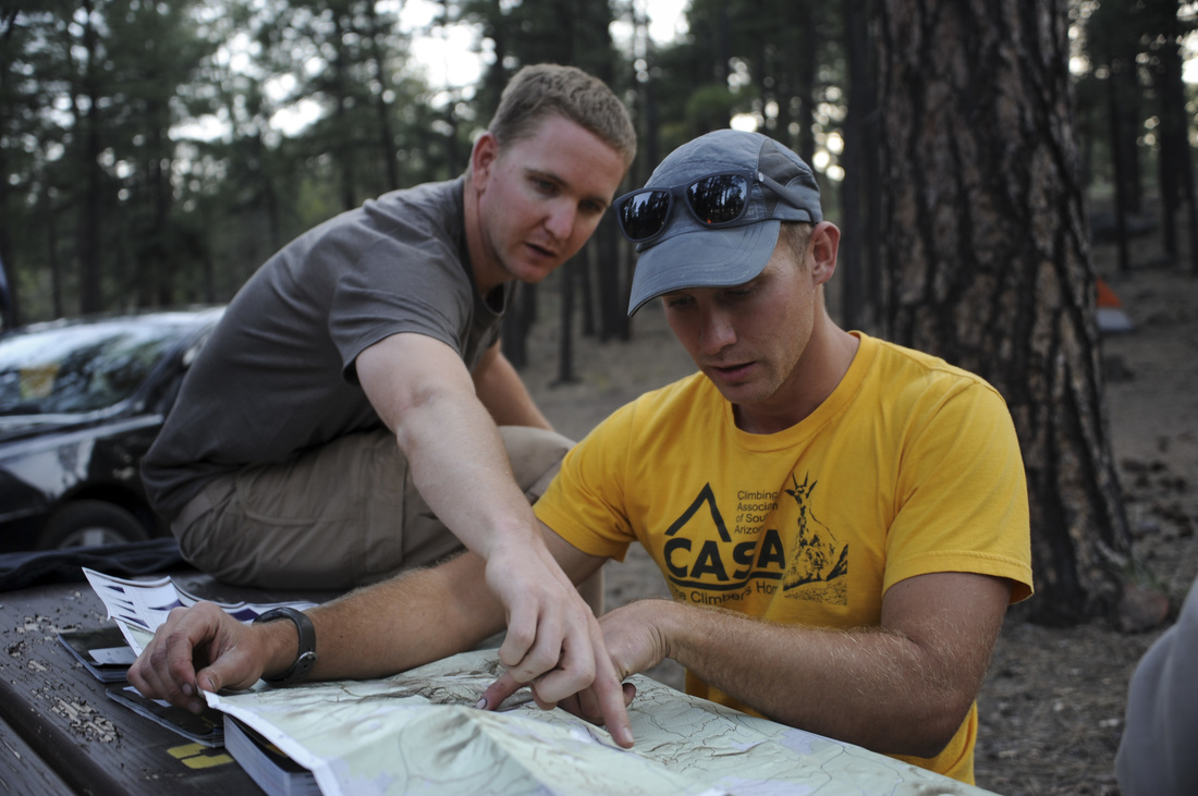
trip detailsTrip Leaders: Joel Bloomquist, Mike Ivison, Jason Selberg
Nearest Base: Luke AFB, Nellis AFB, Davis-Monthan AFB Date: 29 May 2016 Difficulty: Moderate |
All trip updates and progress will be posted in the blog below