
COMPLETED: 31 MAR 2019
Hawaii: Mauna Kea (13,796ft)
Ranked #6/50

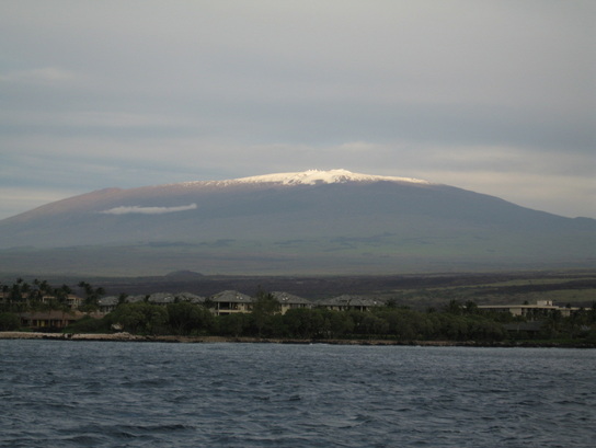
Highpoint detailsMauna Kea (/ˌmɔːnə ˈkeɪ.ə/ or /ˌmaʊnə ˈkeɪ.ə/; Hawaiian: [ˈmɔunə ˈkɛjə]) is a dormant volcano on the island of Hawaii. Standing 13,803 ft (4,207 m) above sea level, its peak is the highest point in the U.S. state of Hawaii. However, much of Mauna Kea is below sea level; when measured from its oceanic base, its height is 33,100 ft (10,100 m)—more than twice Mount Everest's base-to-peak height of 11,980 to 15,260 ft (3,650 to 4,650 m). Mauna Kea is about one million years old, and thus hundreds of thousands of years ago it passed the most active shield stage of life. In its currentpost-shield state, its lava is more viscous, resulting in a steeper profile. Late volcanism has also given it a much smoother appearance than its neighboring volcanoes: contributing factors include the construction of cinder cones, the decentralization of its rift zones, the glaciation on its peak, and the weathering effects of the prevailing trade winds. Mauna Kea last erupted 4,600 years ago. According to the USGS, as of January 2012, the Volcanic Alert Level is "Normal".[4]
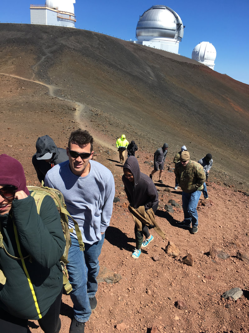
Mauna Kea's great elevation and the steepness of its flanks provide a better view and a shorter hike than the adjacent Mauna Loa. The high elevation with its risk of altitude sickness, weather concerns, steep road grade, and overall inaccessibility make the volcano dangerous and summit trips difficult. Until the construction of roads in the mid-20th century, only the hardy visited Mauna Kea's upper slopes; hunters tracked game animals, and hikers traveled up the mountain. These travelers used stone cabins constructed by the Civilian Conservation Corps in the 1930s as base camps, and it is from these facilities that the modern mid-level Onizuka Center for International Astronomy telescope support complex is derived. The first Mauna Kea summit road was built in 1964, making the peak itself accessible to larger numbers of people.[40] Today, multiple hiking trails exist, including the Mauna Kea Trail, and by 2007 over 100,000 tourists and 32,000 vehicles were going each year to the Visitor Information Station adjacent to the Onizuka Center for International Astronomy. The Mauna Kea Access Road is paved up to the Center at 2,804 m (9,199 ft).[6] One study reported that around a third of visitors and two thirds of professional astronomers working on the mountain have experienced symptoms of acute altitude sickness;[67] visitors traveling up the volcano's flanks are advised to stop for at least half an hour and preferably longer at the visitor center to acclimate to the higher elevation. It is strongly recommended to use a four-wheel drive vehicle to drive all the way to the top. Brakes often overheat on the way down.[68] Between 5,000 and 6,000 people visit the summit of Mauna Kea each year, and to help ensure safety, and protect the integrity of the mountain, a ranger program was implemented in 2001.[6] Because of snow cover in January and February, Mauna Kea can occasionally be skied. There are no facilities,[6] and winds can reach speeds of 80–110 km/h (50–68 mph),[36] but skiing remains a common pastime for some island residents. The most popular location is the Poi Bowl, just east of the Caltech Submillimeter Observatory,[6] where competitions are held once or twice a year, depending on weather conditions.[40] |
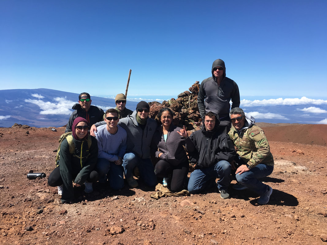
trip detailsAirmen from the USAF Combat Rescue Weapons School summited Hawaii's highpoint during a TDY on March 31st, 2019. Winds were over 40mph, but that didn't keep these Airmen from reaching the summit and knocking out pushups on the top of Hawaii!
|