
Route 2,749,223 - powered by www.wandermap.net
|
Rough GPS route for the 2-day hike and summit. Points are not exact... (GPX and KML attached)
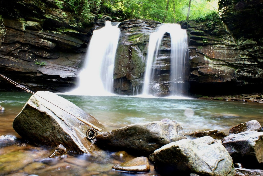
Here is the route for the West Virginia Summit! this will encompass two days of hiking, up to 20 miles, and 3500 feet of elevation gain! Route Description: 1. Parking - (38.71179, -79.54994): Area has 10 spots for vehicles 2. First Day - 7 miles
3. Second Day - 12 miles (Get ready for excellent views)
|
AuthorWrite something about yourself. No need to be fancy, just an overview. ArchivesCategories |
||||
 RSS Feed