
Route 2,749,223 - powered by www.wandermap.net
|
Rough GPS route for the 2-day hike and summit. Points are not exact... (GPX and KML attached)
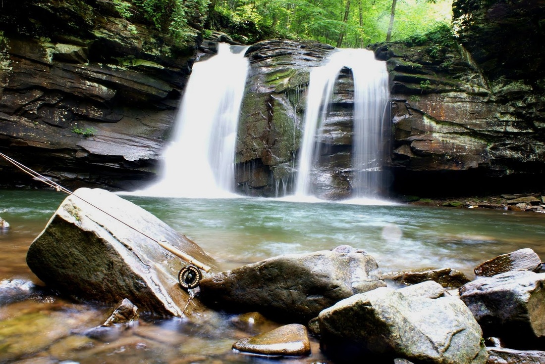
Here is the route for the West Virginia Summit! this will encompass two days of hiking, up to 20 miles, and 3500 feet of elevation gain! Route Description: 1. Parking - (38.71179, -79.54994): Area has 10 spots for vehicles 2. First Day - 7 miles
3. Second Day - 12 miles (Get ready for excellent views)
West Virginia Summiters - Expect to pack out everything we pack in on this trip. Unless there are designated areas for trash and restrooms, please bring it out
Recommended Hiking/Camping Gear List:
- All gear is participants responsibility. Trip leader will have first aid kit and emergency communication device - Tent: recommend group tents if participants know each other, else 2-person, Bivy, or 1-person - Sleeping bag and pad - Backpack and rain cover - Rain gear - Good hiking boots/gaiters and/or water sandals (will be crossing Seneca Creek 6-8 times) - Socks - At least 1x insulating layer if the temperatures drop - Hat/Sunglasses - Sunscreen and bug repellent (Mosquitos and tick repellant) - Bring water (Bottles, Bladder, etc) and purification system (i.e. iodine tabs, purifier) - Can refill water along Seneca Creek - Camping stove (i.e. Jetboil, MSR), fuel and food/snacks - Utensils - Camera - Head lamp or flashlight - Personal hygiene and first aid items |
AuthorWrite something about yourself. No need to be fancy, just an overview. ArchivesCategories |
||||
 RSS Feed